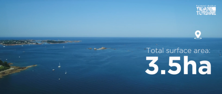
The Paimpol-Bréhat tidal demonstration site is located in French Brittany, North East of the Ile de Bréhat.
- Coordinates : 48°54.5815′ N ; 2°53.44897′ O
- Consented area : 3.5 ha
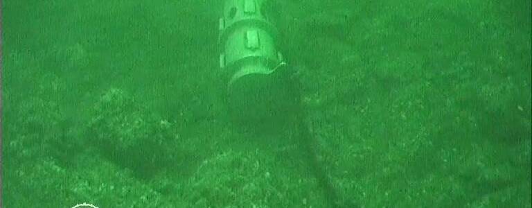
Real ocean conditions
- Bathymetry : water depth on site between 26 and 42 m LAT
- Tidal range: 12 m
- Wave height (Hs): 8-9 m
- Maximum depth-average velocity over the test site in m/s:
- Exceptional spring tide : [2.4 : 3.1]
- Medium spring tide : [2.1 : 2.8]
- Neap tide : [1.1 : 1.5]
- Rocky seabed
- Strong biofouling activity for severe environment testing
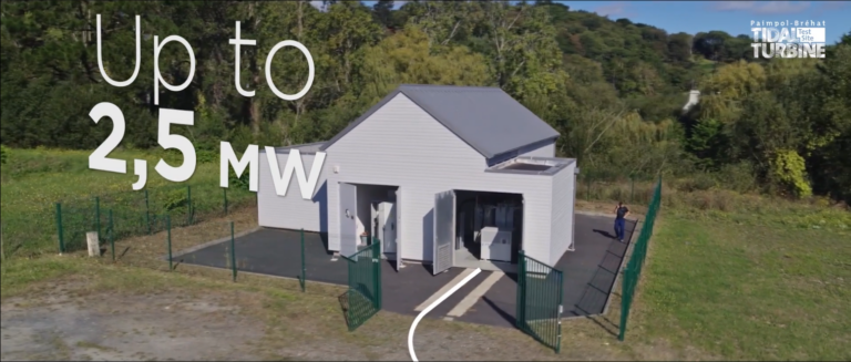
Connected to the French national grid
- Up to 2,5 MW
- AC power export (DS still possible) – 15 km of cable
- 5.5 kV -260 A
- Drymate connection
- Max 12 optical fibers